


Geo-Wiki pictures app for iPhone and iPad
Developer: Christoph Perger
First release : 12 Jun 2012
App size: 18.51 Mb
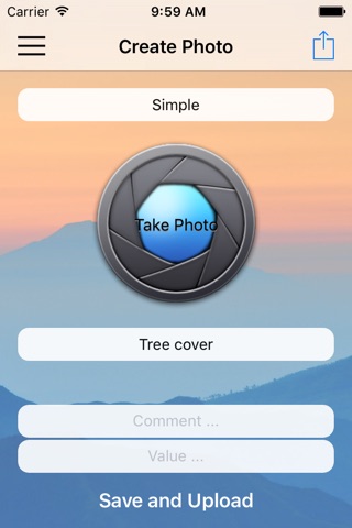
With the Geo-wiki pictures app, you can photograph landscapes and share your photos with friends and colleagues through Geo-Wiki.org, a visualization and crowdsourcing tool developed by IIASA for improving global land cover maps. Global land cover maps are used in a number of environmental applications including assessment of the effects of climate change, deforestation and impacts on biodiversity. Your photographs can help us to improve the quality and the validity of these land cover maps. The Pictures Geo-Wiki mobile app will automatically geo-reference your photos and tag them with information such as the compass direction and the angle of tilt along with the land cover type and other any other comments that you wish to add. Features:
1. Take photographs of landscapes while on holiday or while out with your friends, which automatically adds a geographic coordinate, the compass direction and the angle of tilt to each photo.
2. Tag the photographs with any additional comments or text.
3. Tag the photographs with a land cover type based on a simple to use drop down menu. These land cover types are used to help us validate global land cover maps.
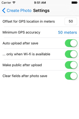
4. Upload these photos to Geo-Wiki.org, a site that allows you to visualize your photographs. The images can be uploaded via mobile connection or stored until you have Wi-Fi access.